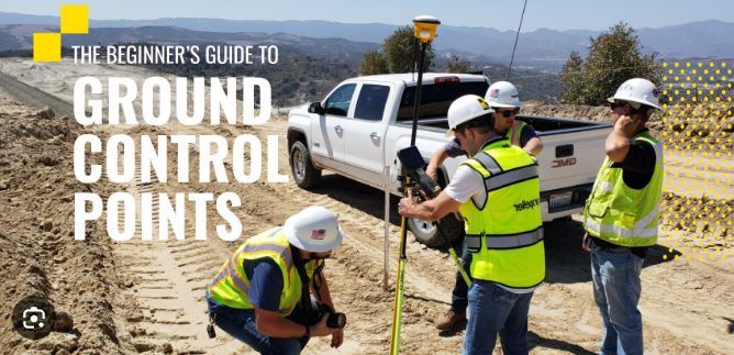
Ground control points (GCPs) are essential for precise mapping and surveying when employing remote sensing technology like drones and satellites. For your geospatial data to have the maximum degree of accuracy and dependability, GCP placement is critical. This blog article will discuss the elements to consider when choosing the location of your ground control stations, offering you professional and practical advice to help you get the best outcomes.
Learning about Ground Control Points
Ground control points are landmarks erected on the surface of the Earth that are used as benchmarks while surveying or mapping an area. Usually, they have distinguishable characteristics like targets, survey marks, or painted crosses. These points can be used to improve the precision of the georeferencing process, matching the images or data with actual places by precisely measuring their coordinates.
Considerable Factors
Distribution: Consider the topography, characteristics, and changes you want to precisely record as you place ground control points over the region of interest. Redundancy might occur if they are placed too close together. At the same time, accuracy could suffer if they are spaced too far apart.
Accessibility: Choose areas that are convenient for surveying staff and equipment. Accessibility guarantees that GCPs may be surveyed properly and effectively, reducing the chance of mistakes during data collection.
Typical Characteristics: Ground control points should be set up on characteristics that are typical of the region you are mapping or surveying. To portray the changes and qualities of the area, consider various things, such as roads, buildings, plants, and other noteworthy landmarks.
Stability: Ensure the ground control locations you choose are secure and unlikely to shift or alter over time. Unstable points can add inaccuracies and reduce the geographic data’s overall accuracy.
Visibility: Selecting ground control points that are obvious and easy to spot will make it easier to identify them during the data-gathering procedure. Issues with high visibility are less likely to be missed or misidentified during the survey.
Real-world data: To improve the precision of your GCP placement, consider using existing ground truth data, such as survey measurements or existing control networks, if available. Aligning your GCPs with existing control points can raise your data’s overall quality.
Requirements for accuracy: Consider the degree of precision needed for your job. The density and location of your ground control points should be influenced by the various accuracy requirements for your applications.
Dimensional Configuration: The geometric configuration, such as creating a triangle, square, or other recognizable patterns, should be considered while distributing GCPs. The georeferenced data correctness evaluation and validation are aided by this setup.
Read Also : How do I use SEO marketing?
Conclusion
One of the most important steps in assuring the correctness and dependability of geospatial data is choosing the best location for ground control points. You may increase the efficiency of your GCP placement by considering elements like distribution, accessibility, representative characteristics, stability, visibility, ground truth data, accuracy requirements, and geometric configuration. Remember that your mapping or surveying findings are strongly influenced by the quality of your ground control points. You will thus get accurate and reliable geospatial data for your projects if you take the time to thoroughly plan and choose the optimal sites for your GCPs.
This article offers thorough guidance on picking the ideal location for ground control points by including the revised content and keyword density per Google’s criteria. Your geospatial data can be accurate and reliable with the correct strategy and level of care, which will help your mapping and surveying projects succeed.


